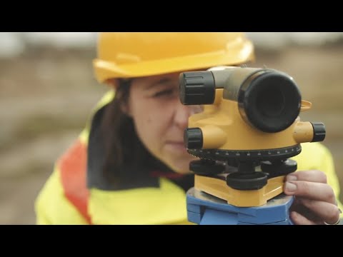
Photo: LubGua987 (CC BY-SA 4.0)
Job description
Rather than working primarily in the field with traditional survey instruments, geodetic surveyors spend much of their time indoors processing satellite, GNSS, and LIDAR data to calculate precise horizontal and vertical positions across large areas. A typical project involves verifying the mathematical accuracy of collected data, computing coordinates using techniques like triangulation and traversing, and maintaining databases of geodetic control points for use by other surveyors and engineers. The role underpins large-scale mapping, construction, and infrastructure projects that require Earth-surface measurements more precise than a standard land survey can provide.
Pros
- Faster than average projected growth (4.4%)
- Indoor, climate-controlled work environment, unlike traditional field surveying
- Highly precise, technical work applying satellite, GNSS, and LIDAR technology
Cons
- Above-average hours, expect more than a standard 40-hour work week
- Precision is essential, since small mathematical errors can throw off large-scale measurements
- Pay tops out around $126k, a modest ceiling given the technical specialization required
A typical day
The control network campaign starts before dawn: GNSS receivers set on three monuments, antennas measured to the millimeter, sessions logged to run for hours because geodetic accuracy is patience made procedural. Midday the surveyor processes yesterday's observations — network adjustments run, error ellipses tightened, one baseline flagged for re-observation. The afternoon holds a LIDAR flight review for a floodplain mapping project and a subsidence monitoring report showing a wellfield sinking measurably per year, a fact with legal consequences. The tools read like science fiction — satellites, lasers, gravity models — but the product is ancient: knowing exactly where things are on a curved, moving Earth.
Tasks at the job
- Analyze control or survey data to ensure adherence to project specifications or land survey standards.
- Conduct surveys to determine exact positions, measurement of points, elevations, lines, areas, volumes, contours, or other features of land surfaces.
- Calculate the exact horizontal and vertical position of points on the Earth's surface.
- Maintain databases of geodetic and related information, including coordinate, descriptive, or quality assurance data.
- Verify the mathematical correctness of newly collected survey data.
- Compute horizontal and vertical coordinates of control networks, using direct leveling or other geodetic survey techniques, such as triangulation, trilateration, and traversing, to establish features of the Earth's surface.
Workplace & working conditions
Work happens indoors in a climate-controlled setting.
You're expected to exercise significant independent judgment day to day. Precision and accuracy are essential to the work.
Education necessary or common
Bachelor's degree
Common college majors
Licenses & certifications
- FS then PS licensure (Professional Surveyor)
- Certified Survey Technician (CST) levels along the way
- GIS certifications complement
Career path
Related fields
Courses to take
- AP Calculus BC — geodesy is mathematical to its core
- AP Physics — satellites, signals, and gravity
- Trigonometry/Precalculus — the surveyor's native math
- Geography/GIS — spatial data ecosystems
- AP Computer Science Principles — processing is software work
Clubs, activities & competitions
- Geocaching with attention to GPS accuracy — then learn why it varies
- Math team
- Science Olympiad (Road Scholar and geologic mapping events)
- TSA or engineering club
First steps you can take now
- Learn how GPS actually works (trilateration, clocks, and error sources) from free resources
- Try a survey-grade against phone-grade comparison: log the same point repeatedly and plot the scatter
- Interview a licensed surveyor — NSPS chapters do outreach
- Look up geomatics/surveying engineering degree programs