Photo: European Space Agency (CC BY-SA 3.0)
Job description
Scientists pull data from remote sensing systems, satellites, aircraft, or ground-based platforms, and run it through statistical, image analysis, and GIS software to extract useful patterns. They integrate that data with other geospatial sources, keep it organized and documented, and format imagery to make it more useful for whoever needs it next. Some go further and develop new sensor systems or analytical techniques rather than just applying existing ones, then present their findings through reports or presentations.
Pros
- High upside earning potential, up to $195k, among the highest in this field
- Standard indoor desk work with a consistent 40-45 hour week
- Applies to varied high-impact fields like natural resource management, urban planning, and security
Cons
- Slower than average projected job growth (0.6% over the next decade)
- Only about 2,000 positions nationwide, so opportunities are geographically limited
- Requires a bachelor's degree plus specialized technical skills in imaging and GIS software
A typical day
The morning starts with fresh satellite passes: last night's imagery over the fire zone finished processing, and the scientist runs a burn-severity classification, checking the algorithm's output against known control points because a model unvalidated is a model untrusted. Late morning is a project meeting with a state water agency — they need snowpack estimates from radar data, and the scientist scopes what's honestly measurable versus wishful. The afternoon disappears into analysis code: correcting for atmospheric interference, fusing Landsat and Sentinel scenes, and writing up methods for a report reviewers will pick apart. A field-calibration trip planned for Thursday will ground-truth what the pixels claim. The Earth updates daily; the job is keeping up.
Tasks at the job
- Manage or analyze data obtained from remote sensing systems to obtain meaningful results.
- Analyze data acquired from aircraft, satellites, or ground-based platforms, using statistical analysis software, image analysis software, or Geographic Information Systems (GIS).
- Integrate other geospatial data sources into projects.
- Organize and maintain geospatial data and associated documentation.
- Compile and format image data to increase its usefulness.
- Prepare or deliver reports or presentations of geospatial project information.
Workplace & working conditions
Work happens indoors in a climate-controlled setting, and most of the day is spent sitting at a desk.
There's a regular, moderate amount of time pressure, and you're expected to exercise significant independent judgment day to day. Precision and accuracy are essential to the work.
Education necessary or common
Bachelor's degree
Common college majors
Licenses & certifications
- GISP (GIS Professional, later)
- ASPRS certification (later)
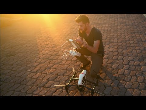
- FAA Part 107 (for drone-based sensing)
Career path
Related fields
Courses to take
- AP Physics — sensors, optics, and electromagnetic radiation are the toolkit
- AP Computer Science — analysis lives in code
- AP Environmental Science — the systems being observed
- AP Statistics — classification and uncertainty
- Geometry/Pre-Calculus — projections and spatial math
Clubs, activities & competitions
- Science Olympiad — remote sensing is literally an event
- Envirothon
- A drone hobby with mapping software
- Computer science or GIS club
First steps you can take now
- Explore free satellite imagery in Sentinel Hub or Google Earth Engine this week
- Compete in Science Olympiad's Remote Sensing event or study its materials
- Download QGIS (free) and make a land-cover map of your county
- Take a free online remote sensing course (NASA ARSET runs open trainings)